Aerial Drone Inspection and Analysis
Drone inspection allows for quick and secure access to locations which may offer health, safety, or environmental issues.
Aerial Inspection Services in India
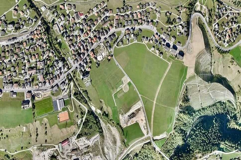
It is possible to send data from regions that may provide health or safety issues to workers using Aerial Inspection services. Equinox's Drones incorporate new Drone technology to provide a flexible and scalable solution to these hazards. Our Aerial Inspection services have assisted the government and business sectors of the country in maintaining assets to their full capacity. We inspect power lines, wind turbine blades, railway tracks, highways, buildings and skyscrapers, and monuments, among other things.
With expanded infrastructure construction at breakneck pace, it is critical to keep up with its upkeep at the same rate. The implementation of Drone Technology in the building business has aided in restoring safety, predicting failure, and optimising a constructor's vision to its most desired condition. Aerial Drone Inspection enables rapid data collecting from difficult-to-reach regions, eliminates different hazards and expenses, and reduces the labour required on-site. Aerial inspection performed in the presence of an authorised drone pilot with the necessary abilities.
Drones provided with powerful sensor like RGB and Temperature Sensor aid in the detection of visual flaws and damages in flare stacks, chimneys, pipelines, oil gasses, and also offer under bridges inspections and roofs inspections.
Our Features
10x Faster Data Acquisition
We capture aerial data 10x faster than our competition thanks to our team of expert drone pilots and survey-grade drones.
5x Faster Delivery
We have a team of GIS professionals working around the clock to handle and analyse the data from the drone survey ... See More
99% Accurate Measurement
We provide findings that are up to 99 percent accurate. Machine Learning is used to process data in order to improve ... See More
Advance Equipment
Our research Drones are high-tech, with high-resolution sensors that provide higher data quality. For surveying, we ... See More
Team of Experts
Our staff of highly skilled GIS engineers, drone pilots, and software engineers are available 24 hours a day, ... See More
One to One Support
We give all necessary assistance to our clients from the beginning to the end of the project, assisting them in making better decisions using Survey data.
Let's Connect!
We're eager to hear from you. Whether it's a query or feedback, our friendly support team is here to assist. Don't hesitate to get in touch.