UAV Data Processing
With our Aerial Data Processing solutions, you can decode the vault of high-quality UAV data and turn your vision into a reality.
UAV Data Processing
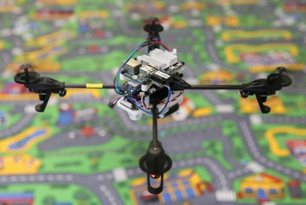
Unmanned Aerial Vehicle (UAV) is an aircraft that does not require a pilot and can either fly autonomously or be controlled remotely. Prepare to gain unique insights into the technology era with India's greatest UAV startup. We provide drone-powered solutions by deploying highly-equipped Unmanned Aerial Vehicles (UAVs) and our GIS experts. UAV Surveying and UAV Mapping enable us to effortlessly collect trustworthy and widely disseminated data.
All of our initiatives have attained centimeter-level accuracy. We also use topographical maps to represent these UAV solutions, such as Digital Terrain Models (DTM), Digital Surface Models, Counter Maps, Orthomosaic Maps, and so on. Our clients not only get UAV services faster, but they also get them at a lower cost. Not only that, but UAV drones and drone services are also helping enterprises make better decisions.
UAV Data Processing is the latest wave in the Geospatial realm, with drone applications reaching across multiple industries. Our powerful and compelling computing server rapidly scales up Data Processing Operations of 1000s of Kilometers of Aerial Data without compromising its quality. We continue to achieve up to 99 percent accuracy in Volumetric Measurements, Crop Yield Estimation, Damage Detection, and other applications using Artificial Intelligence and Machine Learning.
Our Features
10x Faster Data Acquisition
We capture aerial data 10x faster than our competition thanks to our team of expert drone pilots and survey-grade drones.
5x Faster Delivery
We have a team of GIS professionals working around the clock to handle and analyse the data from the drone survey ... See More
99% Accurate Measurement
We provide findings that are up to 99 percent accurate. Machine Learning is used to process data in order to improve ... See More
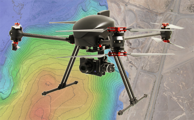
Advance Equipment
Our research Drones are high-tech, with high-resolution sensors that provide higher data quality. For surveying, we ... See More
Team of Experts
Our staff of highly skilled GIS engineers, drone pilots, and software engineers are available 24 hours a day, ... See More
One to One Support
We give all necessary assistance to our clients from the beginning to the end of the project, assisting them in making better decisions using Survey data.
Let's Connect!
We're eager to hear from you. Whether it's a query or feedback, our friendly support team is here to assist. Don't hesitate to get in touch.